ATP 2-33.4, page 16
Intelligence Analysis
Army Techniques Publication: Intelligence Analysis
2014 public edition (Archive.org)
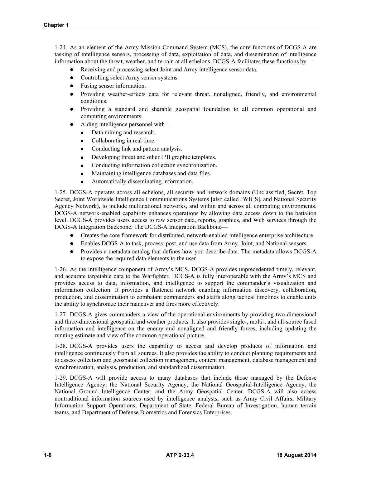
Searchable page text (OCR / PDF)
Chapter 1
1-24. As an element of the Army Mission Command System (MCS), the core functions of DCGS-A are
tasking of intelligence sensors, processing of data, exploitation of data, and dissemination of intelligence
information about the threat, weather, and terrain at all echelons. DCGS-A facilitates these functions by—
e Receiving and processing select Joint and Army intelligence sensor data.
© Controlling select Army sensor systems.
e Fusing sensor information.
e Providing weather-effects data for relevant threat, nonaligned, friendly, and environmental
conditions.
@ Providing a standard and sharable geospatial foundation to all common operational and
computing environments.
e Aiding intelligence personnel with—
= Data mining and research.
= Collaborating in real time.
= Conducting link and pattern analysis.
= Developing threat and other IPB graphic templates.
= Conducting information collection synchronization.
= Maintaining intelligence databases and data files.
= Automatically disseminating information.
1-25. DCGS-A operates across all echelons, all security and network domains (Unclassified, Secret, Top
Secret, Joint Worldwide Intelligence Communications Systems [also called JWICS], and National Security
Agency Network), to include multinational networks, and within and across all computing environments.
DCGS-A network-enabled capability enhances operations by allowing data access down to the battalion
level. DCGS-A provides users access to raw sensor data, reports, graphics, and Web services through the
DCGS-A Integration Backbone. The DCGS-A Integration Backbone—
e@ Creates the core framework for distributed, network-enabled intelligence enterprise architecture.
e Enables DCGS-A to task, process, post, and use data from Army, Joint, and National sensors.
e@ Provides a metadata catalog that defines how you describe data. The metadata allows DCGS-A
to expose the required data elements to the user.
1-26. As the intelligence component of Army’s MCS, DCGS-A provides unprecedented timely, relevant,
and accurate targetable data to the Warfighter. DCGS-A is fully interoperable with the Army’s MCS and
provides access to data, information, and intelligence to support the commander’s visualization and
information collection. It provides a flattened network enabling information discovery, collaboration,
production, and dissemination to combatant commanders and staffs along tactical timelines to enable units
the ability to synchronize their maneuver and fires more effectively.
1-27. DCGS-A gives commanders a view of the operational environments by providing two-dimensional
and three-dimensional geospatial and weather products. It also provides single-, multi-, and all-source fused
information and intelligence on the enemy and nonaligned and friendly forces, including updating the
running estimate and view of the common operational picture.
1-28. DCGS-A provides users the capability to access and develop products of information and
intelligence continuously from all sources. It also provides the ability to conduct planning requirements and
to assess collection and geospatial collection management, content management, database management and
synchronization, analysis, production, and standardized dissemination.
1-29. DCGS-A will provide access to many databases that include those managed by the Defense
Intelligence Agency, the National Security Agency, the National Geospatial-Intelligence Agency, the
National Ground Intelligence Center, and the Army Geospatial Center. DCGS-A will also access
nontraditional information sources used by intelligence analysts, such as Army Civil Affairs, Military
Information Support Operations, Department of State, Federal Bureau of Investigation, human terrain
teams, and Department of Defense Biometrics and Forensics Enterprises.
1-6 ATP 2-33.4 18 August 2014
Chapter 1
1-6
ATP 2-33.4
18 August 2014
1-24. As an element of the Army Mission Command System (MCS), the core functions of DCGS-A are
tasking of intelligence sensors, processing of data, exploitation of data, and dissemination of intelligence
information about the threat, weather, and terrain at all echelons. DCGS-A facilitates these functions by—
Receiving and processing select Joint and Army intelligence sensor data.
Controlling select Army sensor systems.
Fusing sensor information.
Providing weather-effects data for relevant threat, nonaligned, friendly, and environmental
conditions.
Providing a standard and sharable geospatial foundation to all common operational and
computing environments.
Aiding intelligence personnel with—
Data mining and research.
Collaborating in real time.
Conducting link and pattern analysis.
Developing threat and other IPB graphic templates.
Conducting information collection synchronization.
Maintaining intelligence databases and data files.
Automatically disseminating information.
1-25. DCGS-A operates across all echelons, all security and network domains (Unclassified, Secret, Top
Secret, Joint Worldwide Intelligence Communications Systems [also called JWICS], and National Security
Agency Network), to include multinational networks, and within and across all computing environments.
DCGS-A network-enabled capability enhances operations by allowing data access down to the battalion
level. DCGS-A provides users access to raw sensor data, reports, graphics, and Web services through the
DCGS-A Integration Backbone. The DCGS-A Integration Backbone—
Creates the core framework for distributed, network-enabled intelligence enterprise architecture.
Enables DCGS-A to task, process, post, and use data from Army, Joint, and National sensors.
Provides a metadata catalog that defines how you describe data. The metadata allows DCGS-A
to expose the required data elements to the user.
1-26. As the intelligence component of Army’s MCS, DCGS-A provides unprecedented timely, relevant,
and accurate targetable data to the Warfighter. DCGS-A is fully interoperable with the Army’s MCS and
provides access to data, information, and intelligence to support the commander’s visualization and
information collection. It provides a flattened network enabling information discovery, collaboration,
production, and dissemination to combatant commanders and staffs along tactical timelines to enable units
the ability to synchronize their maneuver and fires more effectively.
1-27. DCGS-A gives commanders a view of the operational environments by providing two-dimensional
and three-dimensional geospatial and weather products. It also provides single-, multi-, and all-source fused
information and intelligence on the enemy and nonaligned and friendly forces, including updating the
running estimate and view of the common operational picture.
1-28. DCGS-A provides users the capability to access and develop products of information and
intelligence continuously from all sources. It also provides the ability to conduct planning requirements and
to assess collection and geospatial collection management, content management, database management and
synchronization, analysis, production, and standardized dissemination.
1-29. DCGS-A will provide access to many databases that include those managed by the Defense
Intelligence Agency, the National Security Agency, the National Geospatial-Intelligence Agency, the
National Ground Intelligence Center, and the Army Geospatial Center. DCGS-A will also access
nontraditional information sources used by intelligence analysts, such as Army Civil Affairs, Military
Information Support Operations, Department of State, Federal Bureau of Investigation, human terrain
teams, and Department of Defense Biometrics and Forensics Enterprises.